
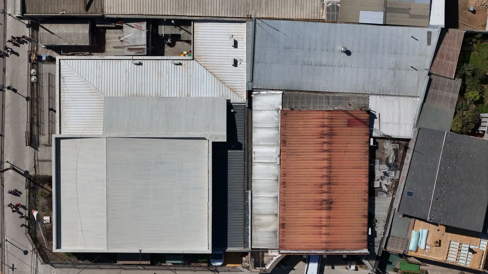
Drone Roof Inspection in Mesquite, TX
Aerial images can show where a roof walk should begin. We use drone imaging to document broad surfaces, map equipment and drainage patterns, and identify areas that need hands-on inspection. The images help a facility director plan access across a large distribution roof near the IH-20 Business Park or a multi-section property in the Town East-Skyline district. They do not confirm seam strength, wet insulation, or flashing adhesion. We pair the overview with field checks wherever the repair or replacement decision depends on a detail.
Mesquite's industrial, retail, and distribution uses sit near major highway corridors. Aerial imaging can help organize a route over a large roof without confusing one section with another. It also records visible obstructions and surface conditions before crews stage materials. Hot summers and spring storms can stress roof details, but a picture alone does not establish weather damage. We connect each image to a roof section, date, and follow-up action. When the question is a specific entry point, leak tracing remains part of the inspection plan.
What Can an Aerial Pass Show?
From above, the crew can map membrane sections, rooftop units, skylights, drains, access paths, and visible debris. Images can reveal a broad pattern: an area of discoloration, standing water, a disturbed section, or a missing component. That pattern helps determine where to send a technician first. It does not tell us whether a seam is welded, whether insulation is wet, or whether a fastener has lost pullout strength. Those questions need a close look and, at times, a test cut.
We plan the flight around site activity, access, roof height, wind, and safe launch and landing areas. Active truck lanes, overhead utilities, and occupied outdoor spaces matter. At a property near I-30, a flight window should not interfere with delivery traffic or people moving between buildings. We coordinate with the site contact before the aircraft is deployed and keep the work area clear. If the property cannot support safe flight conditions, a roof walk or other inspection method is the better choice.
How Do Images Become Useful Findings?
We label views by building and roof section rather than handing over a folder of unlabeled pictures. Each image can be paired with a note about a drain, curb, seam, or surface change. The facility team can compare the image with its roof plan and work orders. We mark items that need a close inspection, but do not call a visible stain a leak until the assembly is checked. The record helps maintenance direct the next visit and reduces time spent searching across a broad roof.
When a repair is planned, we use images to locate equipment, identify staging constraints, and follow the crew's progress. A roof condition report can bring those views together with field observations, repair priorities, and next steps. If the question concerns trapped moisture, an infrared moisture survey may narrow the inspection area, followed by verification from the roof surface. Different tools answer different questions. We select the one that gives the owner an actionable result.
What Cannot Be Confirmed From Above?
Drone imagery cannot test membrane adhesion, weld quality, insulation moisture, deck condition, or hidden flashing connections. A single overhead view may miss a low curb corner or a split along a lap. Shadows and surface temperature can change how a roof appears in an image. We use photographs to plan the field review and document conditions, then inspect critical details from a safe position on the roof. If a surface has an unknown coating or membrane, the crew must identify it before recommending repair materials.
Weather context also needs care. The Dallas-Fort Worth area sees severe spring storms, including hail and damaging wind, but an aerial image does not prove that a particular building was struck. We look for a specific condition, such as impact marks, lifted edges, or displaced accessories, and document where it occurs. Where conditions support a storm review, the storm damage assessment connects observed details to a repair boundary. A wide view helps put those findings in context; it does not replace them.
Can Imaging Reduce Site Disruption?
It can reduce time spent locating roof sections and equipment, especially where access is controlled. The facility contact identifies roofs that are occupied below, active loading areas, restricted routes, and any no-flight zones. Near the Skyline Logistics Hub, the roof work plan may need to account for shipping and truck movement. A brief aerial pass can capture orientation before a hands-on crew arrives, but safe launch and landing still require a clear boundary. We schedule imaging around people and operations, not simply around the roof.
We also protect information. The flight plan focuses on the roof and excludes neighboring properties or private areas that are not part of the inspection. Images are delivered to the client as part of the agreed record. They are not a substitute for access approval or a full condition report. For a repair with a short operating window, we can use the views to pre-mark equipment and staging paths, then keep the field crew focused on the details that need contact and measurement.
What Should the Owner Receive?
The useful deliverable is a labeled image set with a roof-section index and a list of items for field confirmation. The owner should be able to match each view to a building, access point, and planned follow-up. We note date and relevant weather or flight limitations when they affect interpretation. Any repair recommendation is tied to an observed condition, not a visual impression alone. If a section could not be photographed safely, we say so and identify an alternate inspection method.
After repairs, repeat images can help compare changed conditions, provided views are captured from similar positions and the roof has not changed. We can add the work to a preventive maintenance schedule or use images to support roof reviews across multiple properties. The owner then has a way to track visible changes, field-confirmed defects, and work completed without treating every new mark as a failure. That distinction keeps maintenance decisions grounded.
Commercial Roofing Questions
Can a drone inspection replace a roof walk?
No. Aerial views help map a broad surface and direct field attention, but they cannot test seams, flashing, attachment, insulation, or deck condition. We use them with hands-on checks when the decision depends on roof details. The inspection plan names which areas were viewed from above and which were verified in the field.
Can drone images find a roof leak?
They may help locate a surface change or narrow the area to inspect, but water entry often occurs at a detail that is hard to judge from overhead. We compare the image with the interior leak timeline and inspect the likely path. A scan or test cut can follow if moisture remains uncertain. The repair boundary comes from verified roof conditions.
What affects whether a drone can fly at our facility?
Wind, rain, roof height, overhead wires, nearby operations, launch space, and required approvals all matter. We coordinate with the site contact and select a safe route. If a flight would cross an active work zone or neighboring property, we change the plan or use another inspection method.
What will the image report include?
We label images by building and roof section, identify visible items for follow-up, and note areas that need close inspection. The images can support a condition report or repair plan, but they do not certify hidden conditions. We connect each recommendation to a field finding or state what still needs verification.
Can imaging document progress during a reroof?
Yes, repeat views can show staging, exposed sections, and visible progress. We coordinate capture with the facility and crew so the flight stays outside active work areas. Field photographs remain necessary for concealed details, membrane seams, and closeout conditions. The owner receives both types when included in the scope.
Plan an Aerial Roof Review
Share the roof plan, property access limits, active work areas, and the decision the images need to support. We will confirm whether a drone pass is safe and useful, then map views to field checks and next actions.
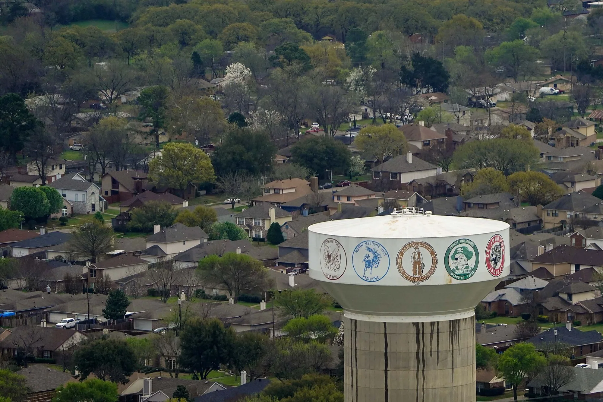
Scope, access and schedule reviewed before work begins.
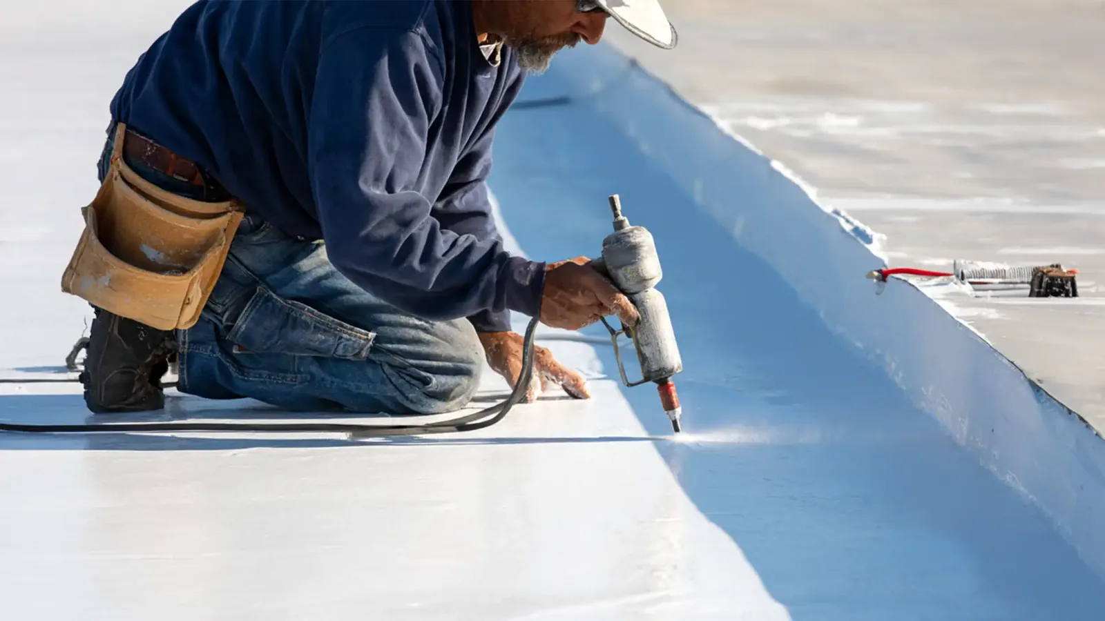
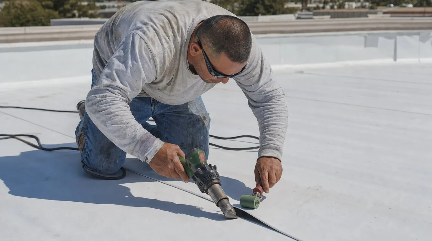
Work planned around the building and its daily operations.